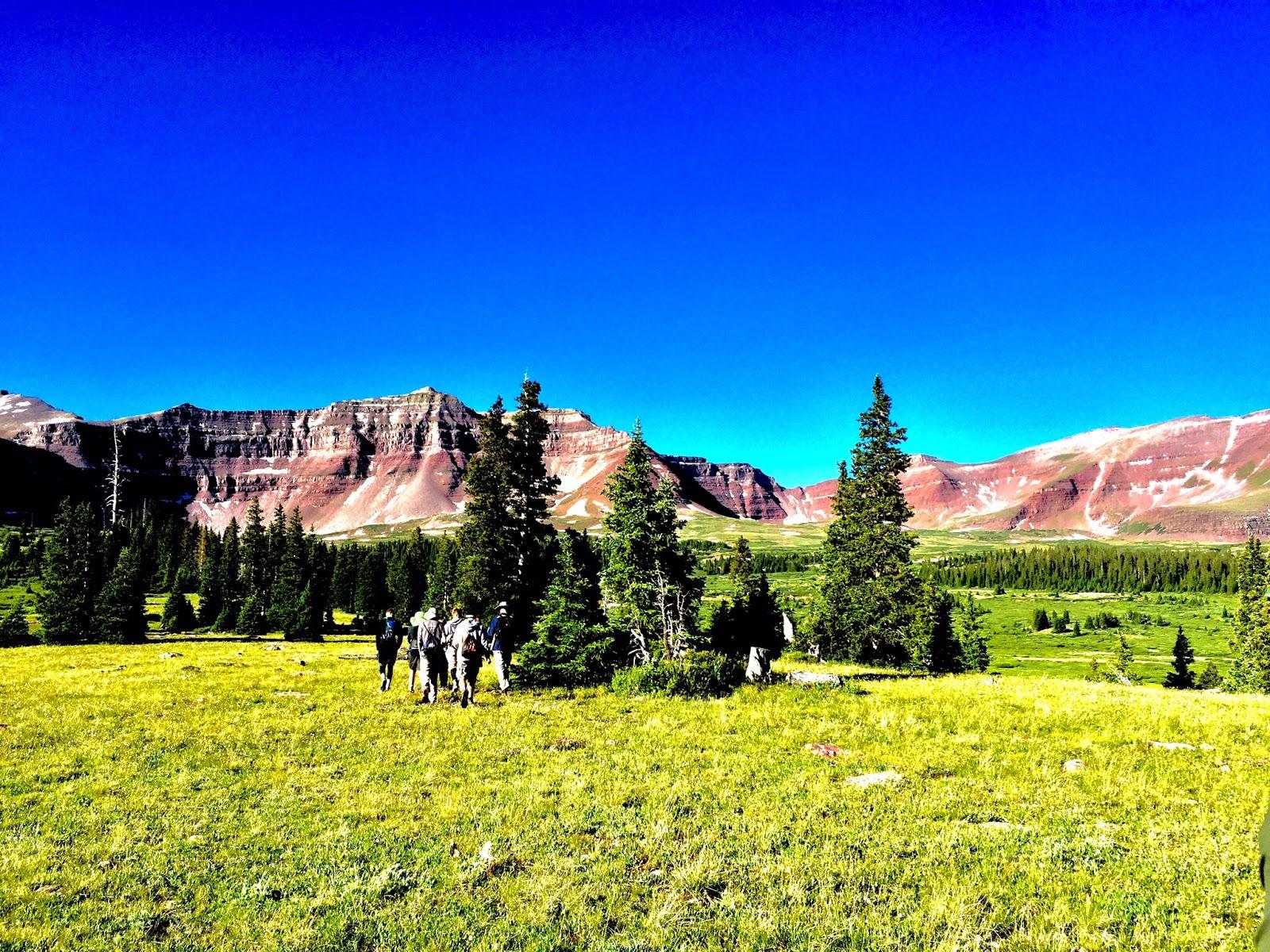
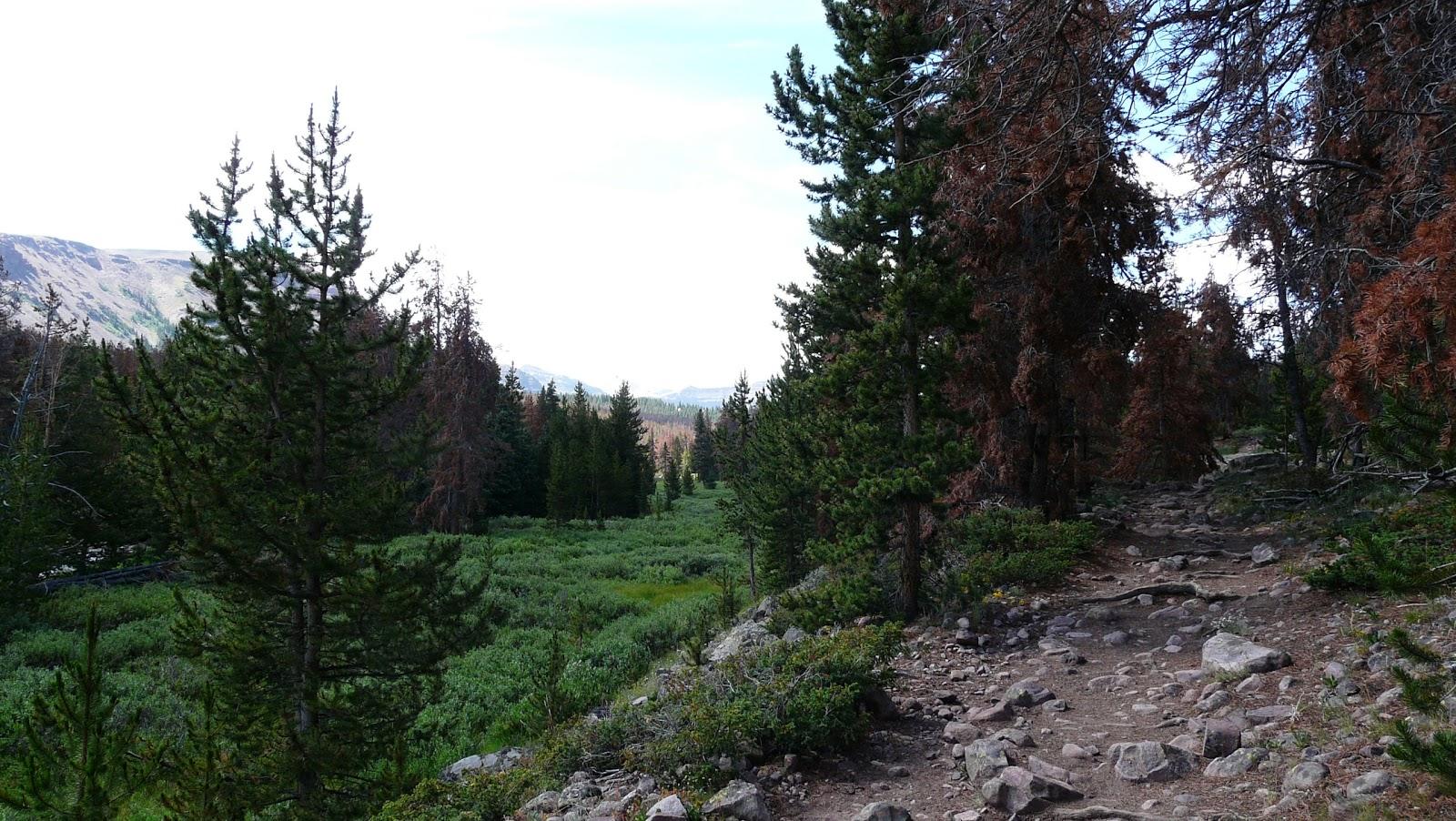
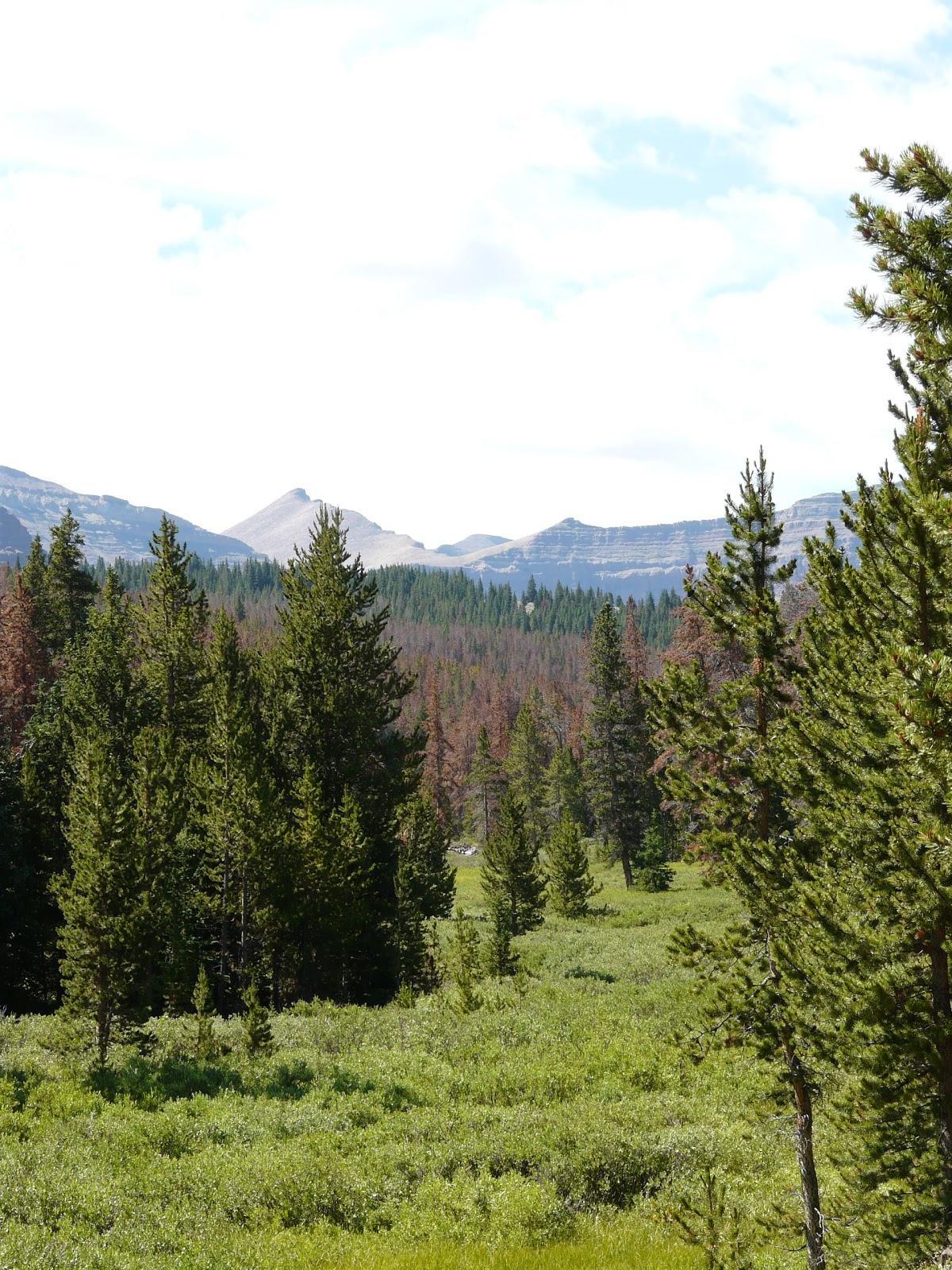
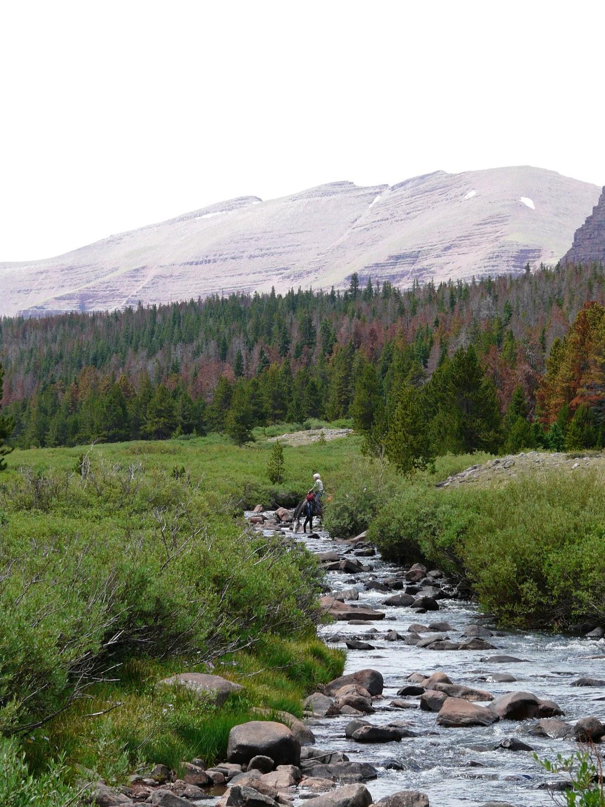
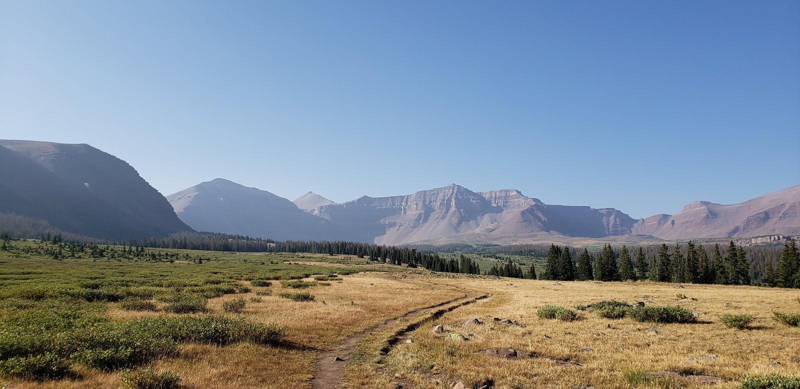
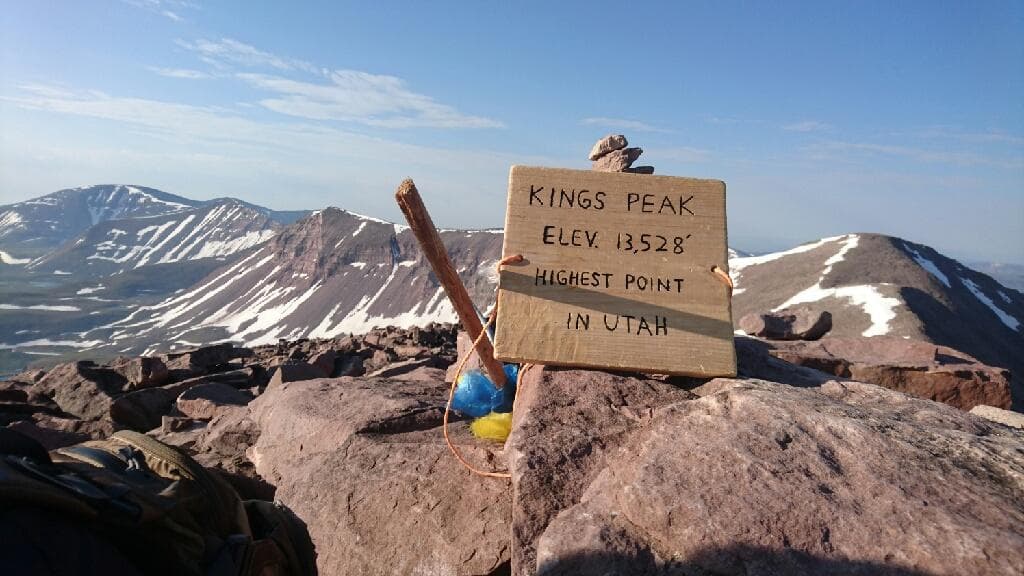
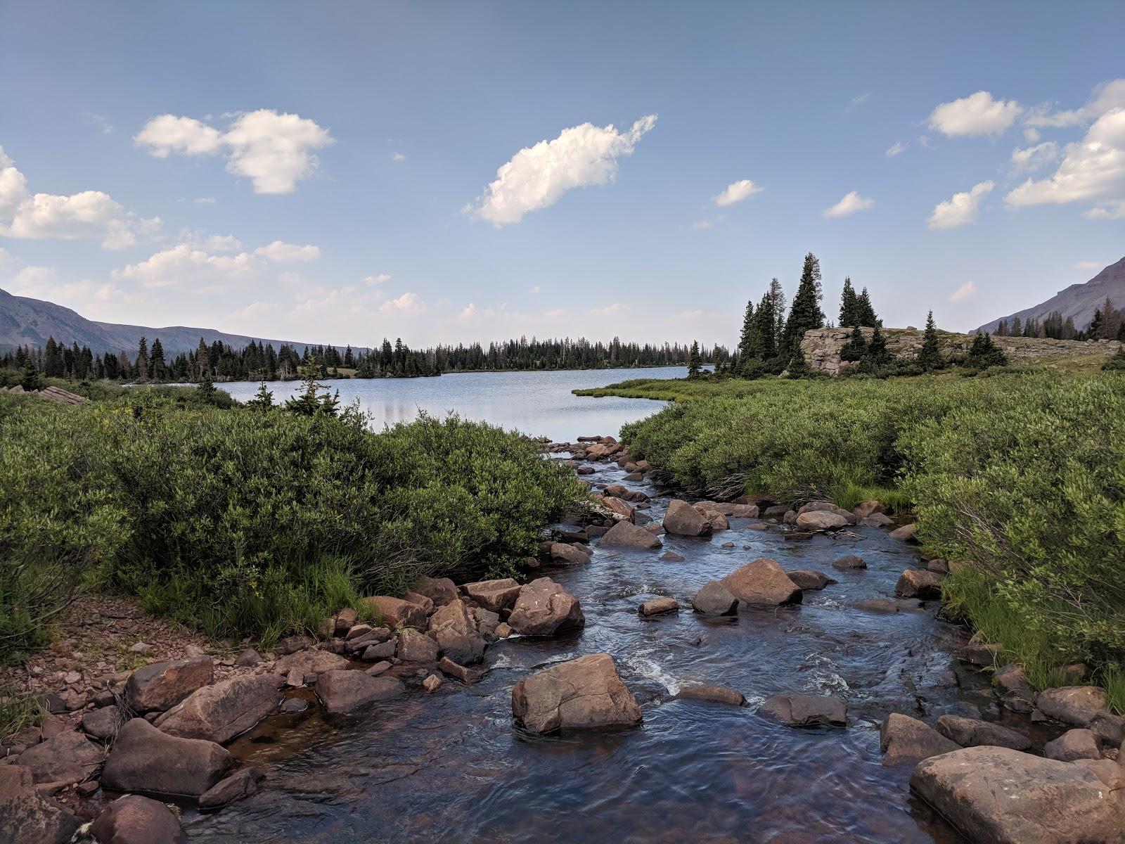
As you probably know, Kings Peak is the highest point in Utah, and as you might imagine, this hike is a very popular one. According to Forest Service estimates the Henrys Fork Basin receives about 5,000 visitors annually. Many come for the express purpose of climbing Utah’s highest mountain, but many more come just to enjoy the abundant scenic beauty of the area and perhaps do a little fishing in the basin’s half dozen lakes. Late summer is the most popular time to visit Henrys Fork, but some visitors also enjoy cross country skiing in the basin in the winter months. Henrys Fork Trailhead is one of the few trailheads on the north slope of the High Uintas that is accessible all year round.
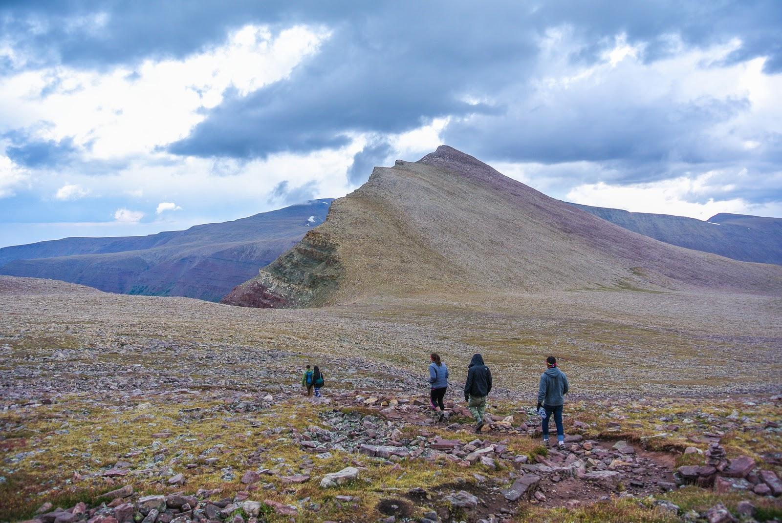
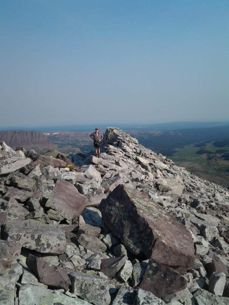
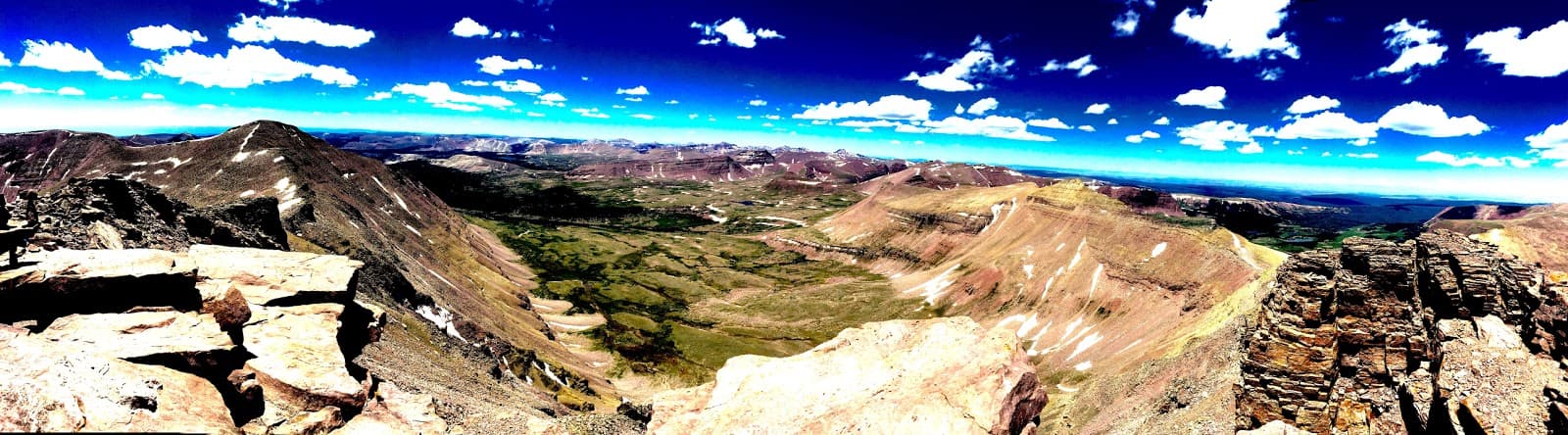
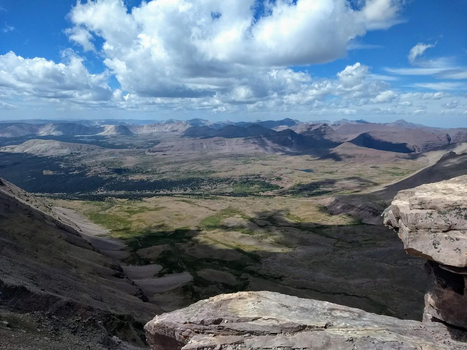
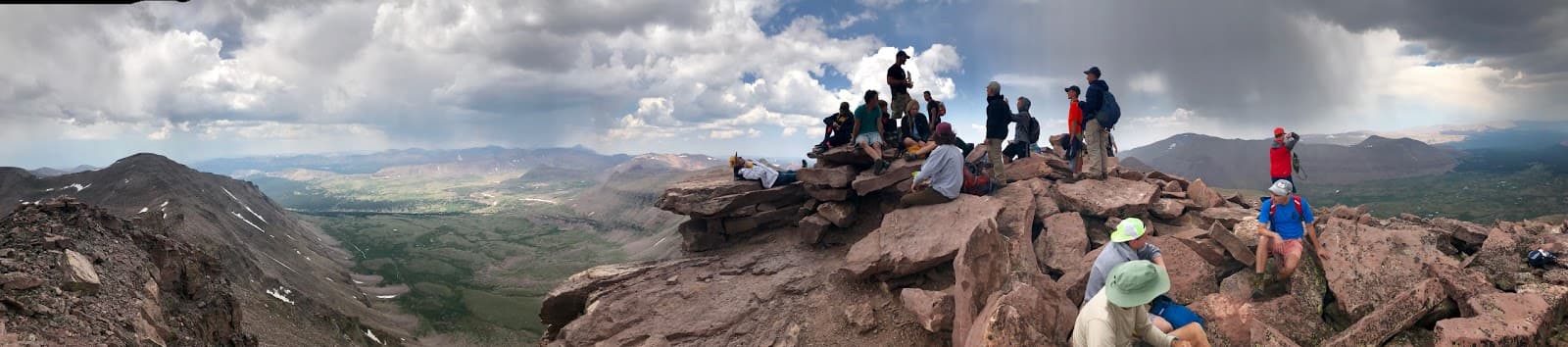
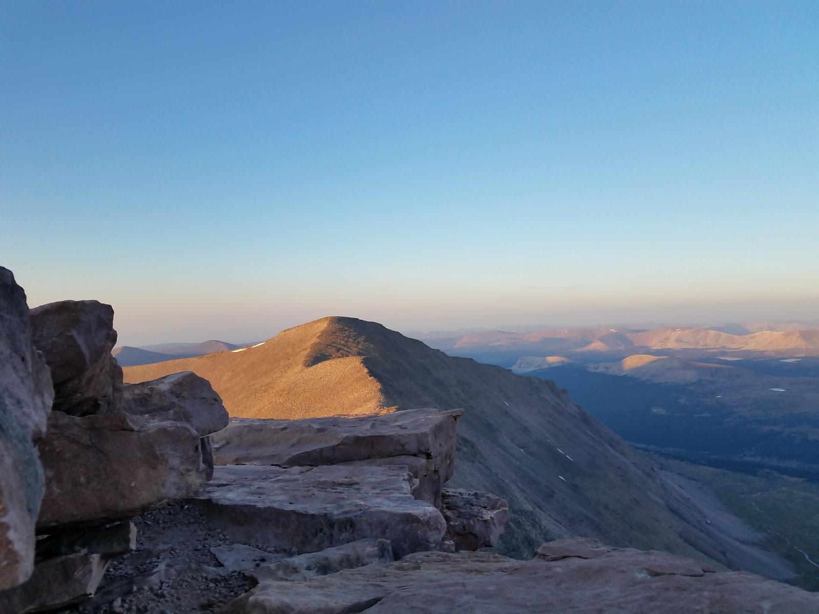
Although the climb to the top of Kings Peak is very strenuous it is not technically difficult, and about the only requisite for the trip is good physical condition. Furthermore, the view from the top is extraordinary. Even if it were not the highest point in the state, the assent of Kings Peak would still be one of Utah’s best hikes.
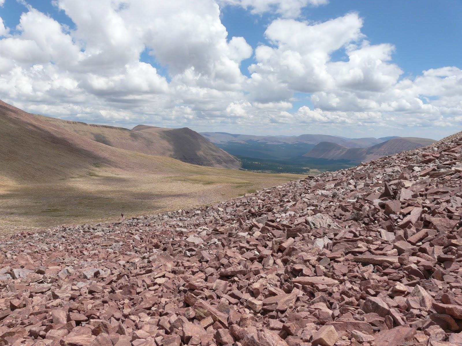
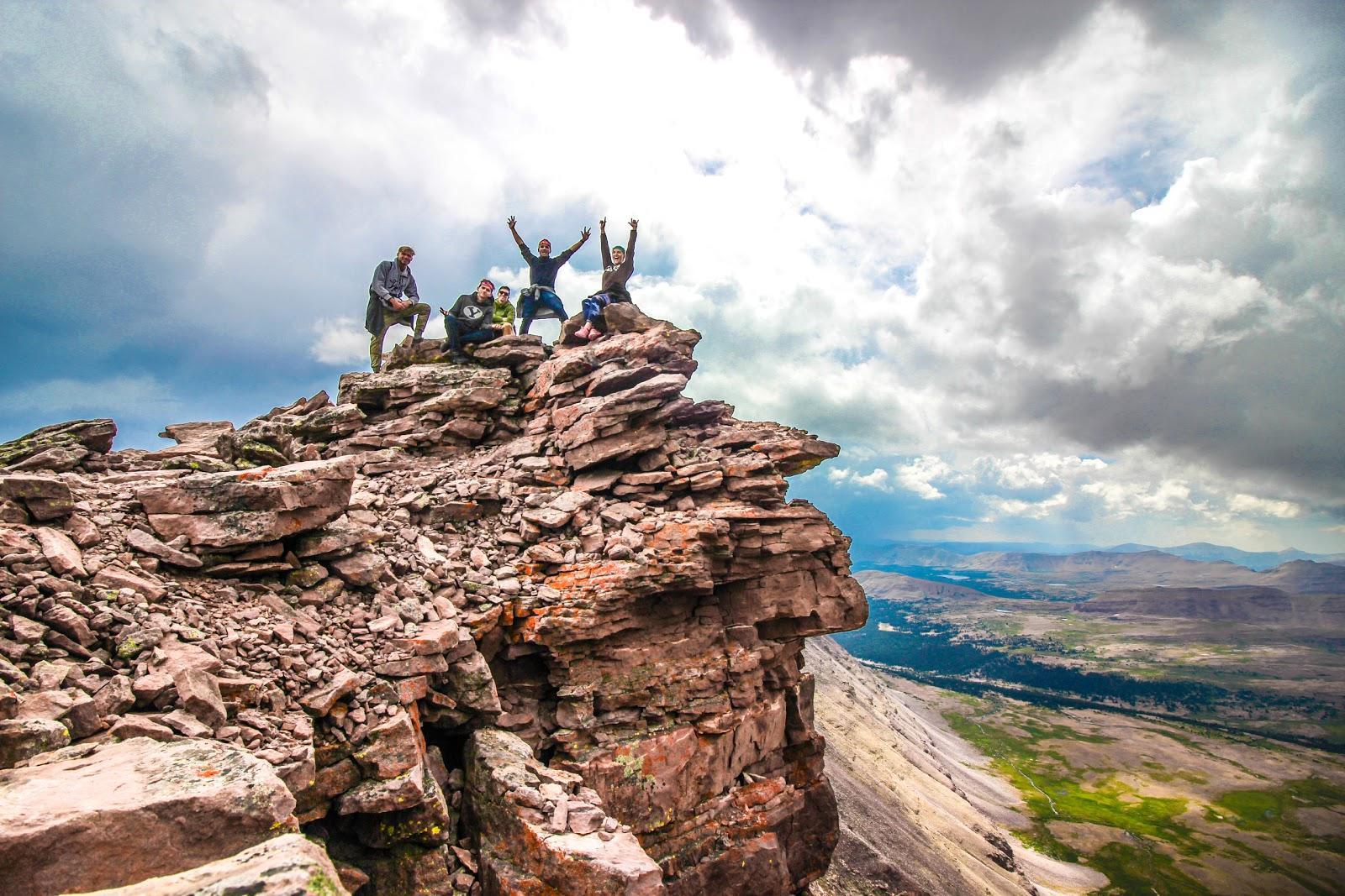
Henrys Fork is the closest trailhead to Kings Peak; hence it is the most popular place to begin the hike. But many variations of this hike are also possible. If you spend an hour on the summit in mid-August you will probably meet other climbers who have walked up from every direction. Many hikers approach Kings Peak from the south slope along Yellowstone Creek or the Uinta River. Others come from Hoop Lake or Spirit Lake on the eastern side of the Uintas. And a surprising number of people begin their hike at Mirror Lake, 40 miles to the west. Looking down from the top with a good pair of binoculars you can usually see hikers far below inching their way east or west along the Highline Trail towards Anderson Pass, just north of the summit.


 H: 98°
 H: 94°